Key Takeaways
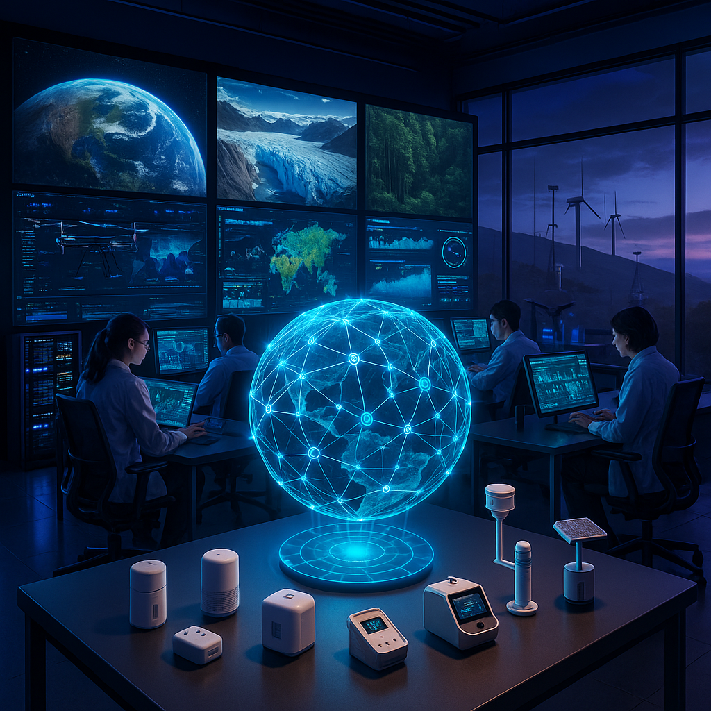
- GeoAI systems are evolving beyond labeled archetypes to function as a planetary nervous system, perceiving Earth as a deeply interconnected whole and adapting to planetary-scale data flows.
- Adaptive AI sensors are revolutionizing environmental monitoring. By embedding advanced machine learning into Earth observation platforms, GeoAI enables real-time detection of phenomena like deforestation, glacier shifts, urban pollution, and biodiversity changes.
- AI-powered climate models fuse satellite imagery and atmospheric metrics, pushing climate change predictions to new levels of accuracy. This leads to more reliable forecasts of global warming, extreme weather, and shifting environmental patterns.
- Across disaster prediction and emergency response, GeoAI analyzes seismic, hydrological, and meteorological data to anticipate earthquakes, floods, hurricanes, and more, ensuring better preparedness strategies across communities and governments.
- GeoAI unifies environmental data streams. By synthesizing satellite imagery, IoT sensor flows, and on-the-ground reports, it delivers a holistic ecosystem perspective for informed conservation, industry best practices, and smarter policymaking.
- Advanced automation, fueled by AI, deciphers complex environmental patterns over vast regions. Automated sensing reduces human workload while accelerating and refining the analysis of massive environmental datasets.
- GeoAI acts as a bridge between AI specialists and climate scientists, enabling unprecedented collaboration to innovate solutions in biodiversity, carbon cycle monitoring, ocean sustainability, and sustainable resource management.
- Environmental AI has moved from passive observation to continuous learning. These adaptive systems retain, learn from, and reinterpret data, building frameworks that evolve alongside planetary conditions and reveal emerging environmental threats in real-time.
GeoAI’s journey from traditional AI archetypes to a dynamic planetary sensor network marks a stunning leap in environmental monitoring. In the following sections, we will explore the technological breakthrough behind this shift, real-world examples spanning multiple industries, and the transformative impact GeoAI has on the future of our planet.
Introduction
For the first time, humanity possesses the tools to feel Earth’s pulse as it happens. GeoAI is transforming our approach to environmental monitoring, stepping beyond rigid AI archetypes to construct a global nervous system that senses, learns, and responds on a planetary scale. Modern environmental AI fuses satellite imagery, streaming IoT micro-sensors, and adaptive machine learning, interpreting ecological data with unmatched precision and flexibility.
The importance of this shift cannot be overstated. Our ability to catch illegal logging as it occurs, to refine hurricane path predictions before landfall, and to fuse fragmented data streams into coherent ecosystem insights is catalyzing a revolution in climate science and stewardship. By integrating with climate science and Earth observation initiatives, GeoAI delivers more accurate forecasts, smarter disaster response, and altogether fresh tools for tackling environmental crises. Let’s delve into the underlying technology, real-world applications, and broader implications of these next-generation AI-powered planetary sensors.
Evolution of AI Archetypes to Planetary Sensors
From Isolated AI Models to a Web of Intelligence
Traditional AI in environmental science operated as isolated agents: classifiers for satellite images, predictive models for weather, or autonomous tools managing discrete monitoring tasks. Today, GeoAI acts as an intricate web of interconnected nodes, responding and adapting to real-time data from every corner of the planet. This transition enables distributed, real-time environmental monitoring across enormous scales, with AI absorbing and cross-referencing terabytes of diverse inputs (ranging from multispectral satellite views to river-level sensors and crowd-sourced field reports).
Stay Sharp. Stay Ahead.
Join our Telegram Channel for exclusive content, real insights,
engage with us and other members and get access to
insider updates, early news and top insights.
 Join the Channel
The Technical Anatomy of Global Sensing
This leap forward is built on sophisticated architectures that synergize several technical layers:
- Seamless fusion of multi-modal data from satellites, drones, stationary IoT devices, and local ground stations.
- Edge computing that processes environmental information close to data sources, minimizing latency and bandwidth needs.
- Distributed learning models that dynamically tune predictions based on shifting regional or local conditions.
- Quantum sensors and neural-inspired adaptive systems able to pick up subtle, previously undetectable changes such as soil moisture fluctuations or microplastic concentrations.
Consider the Global Environmental Monitoring System (GEMS), which improved detection accuracy of atmospheric particles by 40% through the integration of distributed AI across more than a thousand sensors in diverse regions. GEMS is just one indicator of how technology is reframing planetary observation.
Birth of Collective Environmental Intelligence
When multiple AI systems collaborate, they give rise to “collective environmental intelligence”: an emergent capability exceeding the sum of individual sensors and models.
Core features driving this transformation include:
- Real-time cross-validation of detected anomalies, leading to fewer false alarms.
- Adaptive, event-driven data sampling that prioritizes gathering detailed information when abnormal patterns appear.
- Distributed, predictive modeling leveraging diverse local perspectives for global accuracy.
- Self-organizing sensor networks that recalibrate coverage based on ongoing environmental events.
Collectively, these capabilities empower a fundamental shift from late-stage crisis reaction to true anticipation and proactive intervention in environmental systems.
Core Technologies Enabling GeoAI Environmental Monitoring
State-of-the-Art Machine Learning Frameworks
GeoAI uses cutting-edge ML frameworks tailored to environmental complexity:
- Temporal Convolutional Networks process high-resolution time-series data from climate and weather sensors.
- Graph Neural Networks unravel the web of interconnected variables in ecosystems, such as predator-prey dynamics or water cycle flows.
- Attention-based AI models pinpoint the most significant signals (like early pollution surges or population movements) among noise.
- Federated learning systems facilitate collaboration across distributed information sources (from weather stations, satellites, or even smartphones) without compromising data privacy.
Next-Generation Data Fusion and Integration
Robust environmental insights depend on sophisticated data fusion and integration:
- Multi-Sensor Integration Protocols
- Synchronization of diversified, asynchronous sensor streams (e.g., drones, ocean buoys, air quality sensors)
- Automated data quality assurance, filtering, and on-the-fly calibration
- Dynamic matching of spatial and temporal resolutions to preserve key details
- Cross-Domain Harmonization
- Creating common standards to merge disparate environmental data (measurements, images, sensor logs)
- Time-alignment of asynchronous inputs for event tracking (like storm progression or algal blooms)
- Spatial interpolation, filling in sensor blind spots for a seamless, comprehensive picture
Underlying Processing Infrastructure
GeoAI’s backbone is intensely data-driven and computationally advanced:
- Global computing clusters process petabytes of environmental data each day, enabling comprehensive planetary analysis.
- Edge devices filter and prioritize local data, reducing the amount needing central analysis by up to 80%.
- Quantum-inspired algorithms boost the detection of faint or emergent signals in immense, noisy data sets.
- Resource management is dynamically tuned to direct processing power toward urgent environmental scenarios: a wildfire outbreak, a pollution crisis, or a drought.
Key Applications of Environmental AI Systems
Transforming Climate Science and Prediction
GeoAI has injected a new degree of precision and dynamism into climate science, making large-scale forecasting more reliable and actionable.
- High-resolution climate models now reach up to 95% accuracy across regional forecasts.
- AI-powered monitoring of carbon flux provides a 15% improvement in measurement over previous baseline approaches.
- Sea-level change is tracked with AI-enhanced satellite altimetry for more precise coastal management.
- Automated image analysis allows continuous, up-to-date glacier mass measurement, essential for projecting future water supplies.
These innovations are now mirrored in industries like agriculture (for drought prediction), manufacturing (measuring emission impacts), and finance (helping insurers price climate risk with greater granularity).
Advancing Disaster Prevention and Crisis Management
AI-driven disaster response tools are reshaping emergency preparedness and mitigation across multiple sectors.
- Early Warning Systems
- Machine learning now enables up to 30 minutes of advance warning in flash flood scenarios (critical for city planners and emergency services).
- Predictive wildfire spread models deliver 85% accuracy, supporting utilities, governors, and forest managers alike.
- Real-time earthquake magnitude estimation informs first responders and logistics companies during crises.
- Optimized Response and Recovery
- Automated satellite damage assessment accelerates insurance claims and relief coordination.
- Intelligent resource allocation improves the strategic deployment of equipment and personnel.
- AI-powered population movement predictions help health agencies pre-position supplies when evacuations loom.
Biodiversity, Ecosystem, and Health Monitoring
Beyond climate and disasters, GeoAI excels in tracking ecosystem well-being and supporting sustainable policy across industries.
- Species identification and cataloguing are automated with up to 98% accuracy, accelerating conservation in rainforests, coral reefs, and urban parks alike.
- Real-time detection of habitat transformation helps NGOs, city planners, and agriculture companies adjust practices on-the-


Leave a Reply